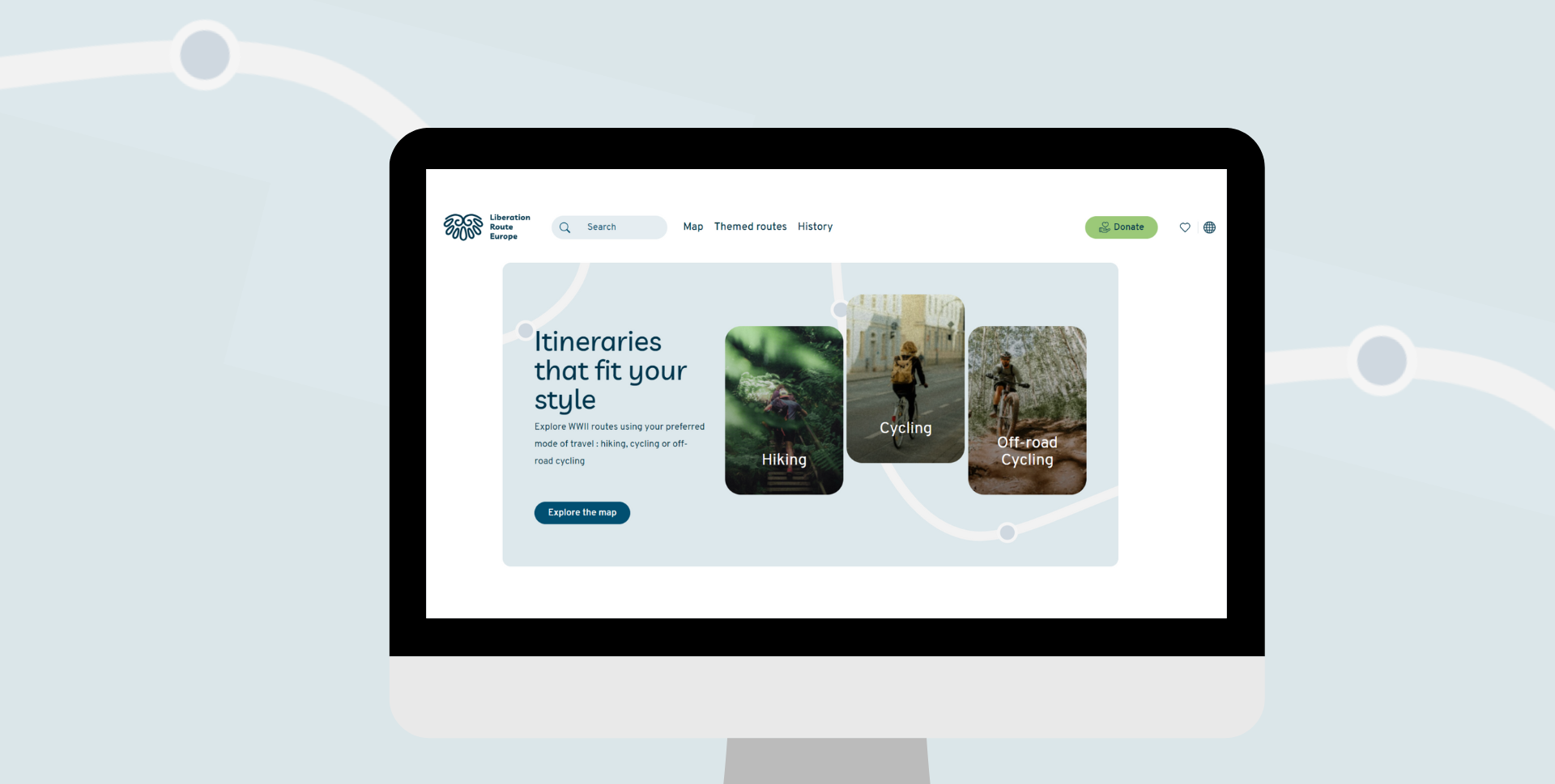
The Liberation Route Europe website has recently implemented a series of small but significant updates to enhance its functionality and user experience. The new features range from an improved map system to new filters and geo-localization options that make it easier for visitors to find the best themed routes or points of interest to explore. These updates go beyond mere aesthetics to significantly improve the site’s usability.
Liberation Route Europe is a certified Cultural Route of the Council of Europe that connects people, places, and events to mark Europe’s liberation from occupation during World War II. Both the Liberation Route Europe website and its companion app have long been valuable resources for discovering WWII historical sites, stories, and hiking and cycling routes across Europe. With 100,000 monthly visitors, enhancing the user-friendliness of the Liberation Route Europe website was a key priority.
One of the most noticeable updates for regular visitors is the revamped map system. Users now have the option to view points of interest, such as museums and historical sites, or to explore the themed routes developed in collaboration with various partners. These curated routes provide a thematic journey through significant WWII sites, offering a richer understanding of historical events and their impacts.
Additionally, the website’s fresh design includes a new filter system, allowing visitors to find routes and content that align with their interests easily. The introduction of a new geo-localization feature also adds a layer of personalization. By enabling geolocation, users can receive customized content based on their current location, making their exploration of historical sites, stories, and themed routes along the Liberation Route even more immersive and tailored to their needs.
Visit liberationroute.com to explore these new features and enhance your journey through Europe’s WWII history.
